The World Meteorological Organization confirmed on September 4, 2026 that an El Nino event has formed in the tropical Pacific and is expected to intensify into what it described as a super El Nino, among the strongest since records began in 1950, with near-certain probability of persisting until at least February 2027. Reuters reported on Sep 4 that the agency's secretary general, Celeste Saulo, said the event could exceed all records since modern monitoring began, and that it could drive record global temperatures in 2027. The warning came with an unusually stark political framing from the United Nations, whose secretary general, Antonio Guterres, said the world has entered an extreme-weather danger zone and described a race between rising climate risk and the pace of climate action.
The confirmation marks a shift in tone as well as a shift in the forecast. El Nino events are declared when sea surface temperatures in the central and eastern Pacific rise above a threshold for a sustained period, and the strongest ones historically have coincided with spikes in global temperature, drought in some regions and flooding in others. Reuters reported on Sep 4 that the WMO is treating this event as a potential record-setter, and that governments are already preparing for the impacts, with Panama declaring a state of emergency over drought and water risk, Peru placing roughly 40 percent of its territory under flood and landslide emergency status, and a range of countries from India to Singapore tightening heat and water protections.
Key Facts
The core forecast is a probability statement with unusual confidence. Reuters reported on Sep 4 that the WMO put the chance of the El Nino persisting until at least February 2027 at near 100 percent, and that the agency expects it to strengthen into a super El Nino over the coming months. The reference point matters, because the 1997 to 1998 and 2015 to 2016 super El Ninos were associated with some of the most damaging extreme weather on record, and the WMO's language about possibly exceeding all records since 1950 signals that the coming event could rival or surpass those benchmarks.
The institutional response is being described as unprecedented. The WMO said it is mounting what Reuters reported on Sep 4 it called an unprecedented mobilization to strengthen forecasting and early warning systems, reflecting the agency's view that the event will test the readiness of vulnerable countries. The United Nations secretary general added a political layer, warning in a statement covered on Sep 4 that humanity faces a race between mounting climate risk and the speed of climate action, language that echoes the urgency of the 1.5 degree Celsius debates that have dominated recent climate diplomacy.
Country-level preparations illustrate the range of expected impacts. Panama declared a state of emergency because of drought and water shortages, Peru placed about 40 percent of its territory under emergency status for flood and landslide risk, and governments including India and Singapore announced heightened heat and water protections for workers, according to coverage on Sep 4. The pattern is typical of strong El Nino events, which rearrange rainfall across the tropics, drying parts of Central America and Southeast Asia while increasing flood risk in parts of South America and East Africa, and the WMO's warning is effectively a request that governments treat those risks as imminent rather than hypothetical.
Analysis
What this really means is that the world is about to experience its first super El Nino on top of a climate system that has already been pushed to record warmth by decades of greenhouse gas accumulation, and the two forces will compound each other in ways that the historical record does not capture. The 2015 to 2016 super El Nino helped push global temperatures to then-record levels, but the planet has warmed substantially since then, which means a comparable ocean event now starts from a higher baseline and can be expected to produce more extreme outcomes. Reuters reported on Sep 4 that the WMO sees a strong chance of record global temperatures in 2027, and that forecast is the clearest sign that the coming El Nino will be measured not just by its ocean temperatures but by what it does to a climate system already operating far outside its historical range.
The bigger picture here is that the warning arrives at a moment of deep political vulnerability on climate finance. The previous year's negotiations ended with commitments to expand funding for developing countries, but the gap between what rich countries have pledged and what vulnerable countries need remains enormous, and a super El Nino that produces simultaneous droughts, floods and heat waves will test whether that funding architecture can respond to compounding disasters rather than single events. The emergency declarations in Panama and Peru, reported on Sep 4, are previews of that test, because both countries will need international support to cope with impacts that their own budgets cannot absorb, and the WMO's call for an unprecedented mobilization of early warning systems is an acknowledgment that prediction is only valuable if it is paired with the capacity to act.
The scientific uncertainty deserves emphasis alongside the confidence. The WMO's near-100 percent probability that El Nino will persist into early 2027 is a statement about the seasonal forecast, not about the event's ultimate strength, and the agency's language about possibly exceeding records since 1950 is a projection that could be revised as the ocean evolves. What is not uncertain is the direction of the risk, because every major El Nino of the satellite era has produced measurable global temperature spikes and regional extremes, and the only open question is magnitude. For governments, the rational response is the same under either scenario, strengthen early warnings, reinforce flood and drought defenses, and prepare for the possibility that 2027 becomes the hottest year on record, because the downside of preparing for a stronger event than arrives is far smaller than the downside of preparing for a weaker one.
Why It Matters
For the countries most exposed to El Nino impacts, the warning translates into immediate operational decisions about water rationing, flood defenses and heat protection for workers, and the emergency declarations already issued in Panama and Peru show that those decisions are underway. For global food markets, a strong El Nino typically disrupts production of staples like rice, wheat and palm oil in Southeast Asia and parts of South America, which could add to food-price pressure in a world still adjusting to the supply shocks of recent years. For the insurance and disaster-response industries, the event will test whether loss models built on historical El Nino behavior can keep pace with a climate system that has shifted, and the WMO's own framing, that this could be the strongest event since 1950, implies that historical baselines are exactly the wrong tool for predicting what comes next. And for the diplomatic system, the timing of the warning, just as countries are negotiating the next round of climate finance, makes it harder for wealthy nations to argue that adaptation funding can wait.
Next Up
In the coming weeks, watch for the WMO's monthly updates on the strength of the El Nino, since the first revisions to the initial forecast will show whether the event is tracking toward the record territory the agency described. Watch also for the response of the UN's humanitarian and disaster agencies, because the scale of pre-positioned aid and early-warning investment will indicate how seriously governments are treating the super El Nino scenario. The most consequential near-term signal will come from the 2027 temperature outlook, because if the WMO's forecast of record global warmth is confirmed in the coming months, the political pressure for faster emissions cuts and larger adaptation budgets will intensify at precisely the moment when the climate finance system is being tested.
Related Articles
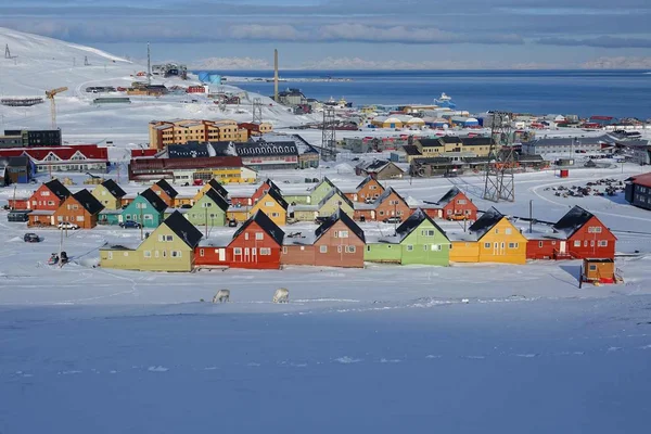
Longyearbyen tap water banned as thawing permafrost leaches heavy metals into reservoir
Norway's Arctic town of Longyearbyen has kept a full-population advisory against drinking tap water since September 2025, and a SINTEF study on permafrost thaw is not due until 2027.
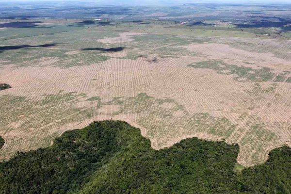
Brazil Amazon deforestation hits record low of 3,335 km2 days before pivotal runoff vote
Brazil's space agency INPE says Amazon clearance fell to 3,335 square kilometers in the year to July, the smallest tally since 1988, with a presidential runoff set to decide whether the policy survives.

IPCC suspends 65th plenary session in Addis Ababa without a deal on AR7 timeline or budget
A deadlock of nearly three years over the Seventh Assessment Report schedule deepened when talks in Ethiopia ran out of time, with a 30 country coalition warning the science may miss the 2028 stocktake.
Comments (0)
Log in or sign up to leave a comment.
No comments yet. Be the first to share your thoughts.