Forecasters at the National Weather Service and private outlets warned on August 27 that a late-summer pattern of dangerous heat, flash flooding, and wildfire smoke is unfolding across large parts of the United States. The warnings come as new European Space Agency data, drawn from the Copernicus Climate Change Service, shows that June 2026 was the second-warmest June globally on record and that Western Europe experienced its warmest June in the modern observational record.
What Is Happening
In the Southwest, daytime highs are forecast to reach 110°F across parts of Arizona, Nevada, and inland California through the August 28-30 window, with overnight lows remaining above 85°F in Phoenix and Las Vegas. Heat advisories have been issued for 14 million people. In the Mid-Atlantic, a stalled frontal boundary combined with a deep plume of Gulf moisture is producing flash-flood watches from Virginia to southern New York, with rainfall rates of 2 to 4 inches per hour forecast in the most intense cells.
In the Pacific Northwest, dry lightning and gusty winds are driving active wildfires in Oregon and Northern California, with smoke plumes extending into Idaho and western Montana. Air-quality alerts are in effect for Portland, Seattle, and Boise. The fires follow a summer that the National Interagency Fire Center says has burned 7.2 million acres nationally, approximately 18% above the ten-year average.
Climate Context
The August 27 ESA update notes that extreme heat has become "increasingly frequent and intense in Europe and across the globe." Carbon monoxide concentrations measured by ESA's TROPOMI instrument show elevated wildfire emissions across the Mediterranean basin and the western United States in August 2026, with peaks comparable to 2023 and 2024. ESA estimates that wildfires and biomass burning contribute up to 35% of global greenhouse gas emissions in active fire years.
Persistent dry conditions are also reducing river flow in major basins, including the Colorado River and the Rhine, raising concerns about hydropower generation, drinking-water supply, and shipping. The Rhine has approached historic low-flow thresholds for late August at several gauge stations in Germany and the Netherlands.
Policy Response
FEMA has pre-positioned cooling centers and bottled water in Maricopa County and Clark County in advance of the heat wave. Governor Katie Hobbs of Arizona activated the state's National Guard to support cooling-center operations on August 26. In the Mid-Atlantic, the Virginia Department of Emergency Management has issued guidance on flash-flood driving safety as the heaviest rains are forecast to fall during evening commute hours.
What to Watch Through Year-End
Three checkpoints follow. The September NOAA climate outlook, due September 19, will indicate whether the late-summer pattern persists into autumn. The 2026 Western wildfire season's final acreage total, due in October, will determine whether this year joins the four highest-burn seasons on record. And the November UNEP Emissions Gap Report will be the first multi-national accounting of whether 2026 emissions are tracking above or below the 1.5°C pathway.
Related Articles
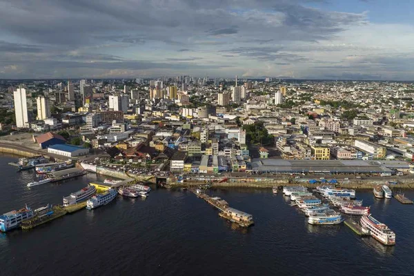
Amazonas Declares Fire Emergency in 36 Municipalities as Smoke Shuts Manaus for Third Day
Smoke from hundreds of wildfires pushed Amazonas state to declare an emergency across 36 municipalities while schools and municipal offices in Manaus remained shut for a third day.
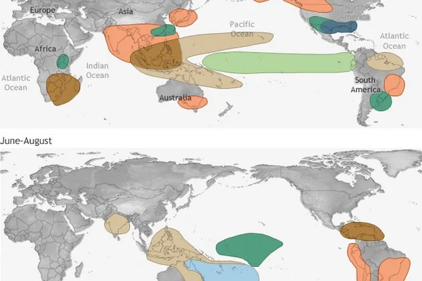
September 2026 was Earth's second warmest on record as oceans set all time heat mark
NOAA NCEI reports September 2026 ranked as the second warmest September globally while global ocean surface temperatures hit an all time monthly record, driven by a record strength El Nino.
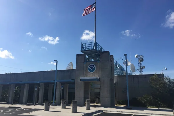
Hurricane Isaias Becomes Latest First Atlantic Hurricane Since 1905 and Reaches Category 3
The National Hurricane Center says Isaias packed 120 mph winds and 959 mb as it closed on the western Florida Panhandle, forcing evacuations and shutting in 63 percent of Gulf oil output.
Comments (0)
Log in or sign up to leave a comment.
No comments yet. Be the first to share your thoughts.