NOAA's Climate Prediction Center released an updated El Niño/Southern Oscillation (ENSO) forecast on August 13 that puts the probability of the developing Super El Niño becoming the strongest on record at nearly 70 percent. The forecast, summarized by CNN the same day, comes on the back of global sea-surface temperatures that set a new preliminary high as of August 5 — already exceeding the prior 2024 peak — and aligns with a year that the UN Biodiversity Talks, meeting in October, will find 「off track for 2030 targets」 per the Climate Watch summary released August 15.
What NOAA Actually Forecasts
The August 13 ENSO discussion places the current event in the 「Super El Niño」 category — defined as a three-month running-mean Oceanic Niño Index (ONI) at or above 2.0°C — and projects it will peak in the November 2026 to January 2027 window. The probability of this peak exceeding the strongest event in the modern record (the 1997–98 and 2015–16 events tied at ONI peaks near 2.3°C) is now estimated at 67 percent in the August update. NOAA also flagged that the subsurface heat content in the eastern equatorial Pacific is at its highest level since satellite records began in 1979, providing the energy reservoir that drives the surface warming.
The Cascade of Climate Signals
The Super El Niño forecast interacts with three other climate signals in 2026. Global sea-surface temperatures set a new preliminary high on August 5 — per the daily roundup published at climateandeconomy.com — driven by a combination of El Niño, long-term ocean warming, and reduced sulfate aerosol cooling from cleaner shipping fuels. Antarctic sea-ice extent has remained at near-record lows through the austral winter, with the August daily extent running roughly 2.5 million square kilometers below the 1991–2020 median. And the Atlantic Multidecadal Oscillation remains in a warm phase, which typically amplifies hurricane season intensity — relevant given that the 2026 Atlantic hurricane season peak is still six to ten weeks away.
The Iran Floods as a Consequence
Heavy monsoon rains swept across several Iranian provinces from the evening of Wednesday, August 12, through the early morning of Thursday, August 13, triggering severe flash flooding that blocked rural access roads and caused significant damage to agricultural sectors and public infrastructure, per the August 15 roundup. Iran's official death toll has now climbed past 30, with the most affected provinces including Mazandaran, Golestan, and parts of Khorasan. The flooding is consistent with the precipitation signature of an intensifying El Niño, which typically produces above-normal autumn rainfall across the Middle East and northern Pakistan.
What the Forecast Means for the Rest of 2026
For the rest of 2026, the operational consequences cluster in three areas. Winter storms in the southern United States are expected to be more frequent and wetter than average, with implications for Texas, Louisiana, and the Carolinas. The Atlantic hurricane season, already running above-normal through August, is likely to see a more active late season — the typical peak shifts later in El Niño years because of changes in vertical wind shear over the Caribbean. And global grain yields, particularly for maize in southern Africa and rice in southeast Asia, are expected to come under pressure in early 2027 as the El Niño peak combines with the existing warming trend. The next major NOAA update is scheduled for September 12.
Related Articles
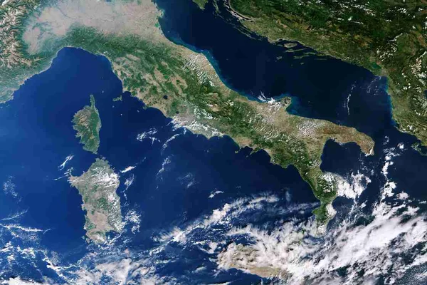
Copernicus report finds summer 2026 was Europe's hottest on record with 52 percent heat stress
The EU climate monitor said 52 percent of the continent faced feels-like temperatures above 38 degrees Celsius, Western Europe's hottest summer on record and the third warmest for Europe overall.
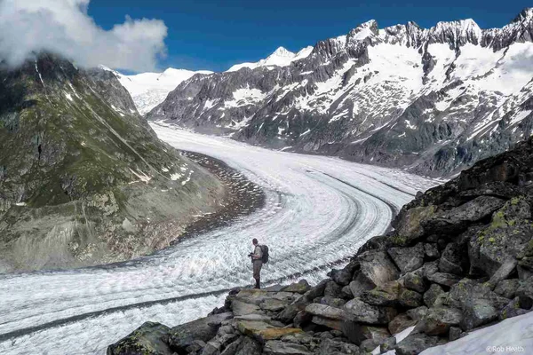
Swiss glaciers lose 5.5 percent of their ice in 2026 as five year melt nears one fifth
Switzerland's glaciers have now lost 19.4 percent of their volume in five years, and glaciologists warn that the ice is collapsing from the inside as melt rates explode.
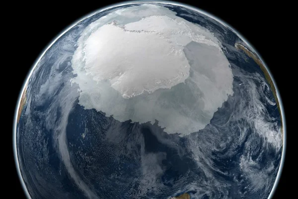
Antarctic winter sea ice hits third lowest maximum on record as four worst years cluster since 2022
Provisional satellite data show the Southern Ocean's winter ice cover peaked on 14 September at 17.59 million square kilometers, the third smallest in a record that begins in 1979.
Comments (0)
Log in or sign up to leave a comment.
No comments yet. Be the first to share your thoughts.