Sea-surface temperatures in the Niño 3.4 region — the equatorial Pacific strip that defines El Niño strength — surpassed the +2.0°C «super El Niño» threshold for over a week by mid-July, reaching an anomaly of about +2.1°C more than a month earlier than the benchmark 1997/98 and 2015/16 super events, according to climate monitoring data reported by IntelliNews. No El Niño since 1982 has warmed this fast by July, and forecast models suggest strength «likely to reach levels not seen in decades.»
Record Ocean Heat
The El Niño is layered on unprecedented background warmth. Both the Copernicus Climate Change Service (C3S) and the Copernicus Marine Service confirmed that global sea-surface temperatures exceeded records for the time of year set in 2023 and 2024, with daily SST data passing the 2024 level on June 21 at 20.86°C. The monthly average for the extra-polar ocean (60°S–60°N) was the highest ever recorded for June, and the ocean has now run 0.35–0.73°C warmer than the long-term average for three straight years. Copernicus director Carlo Buontempo warned the situation could lead «once more, to uncharted territory.»
What It Means for Weather
Warmer oceans add energy to storms and increase evaporation, amplifying risks of extreme precipitation, flooding, drought, and wildfire. Europe's June heatwave — the hottest on record for Western Europe — caused more than 1,300 excess deaths, and the WMO's John Kennedy noted Europe has warmed about 2°C since the historic 1976 heatwave, making it the fastest-warming continent. Scientists expect further records to fall as the super El Niño peaks toward northern winter.
Related Articles

ETH Zurich and VUB Launch Global Glacier Extinction Explorer Mapping Every Glacier
A new interactive map built on Nature Climate Change research projects when each of the world's glaciers could vanish at 1.5C, 2.0C, 2.7C and 4.0C of global warming.

Indonesia Fires Become World's Largest Source of Wildfire Emissions as Pontianak Air Quality Hits 483
A super El Nino has pushed Indonesia's peatland fires to the top of global wildfire emissions, with Pontianak's air quality index reaching 483 on September 13, 2026.
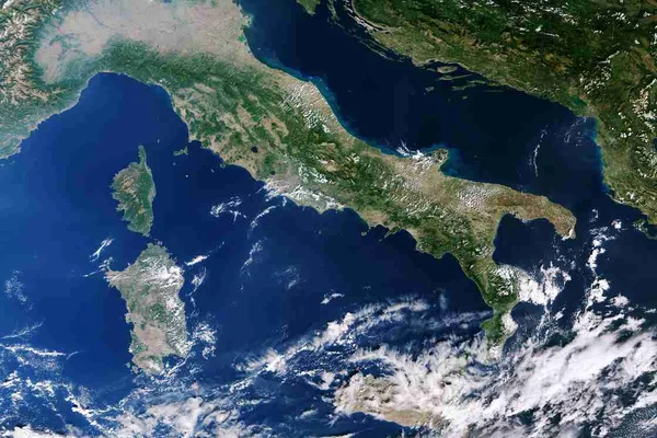
Spain records highest sea water temperature as AEMET confirms 61 heatwave days in 2026
The Dragonera buoy hit 33.02 degrees Celsius on August 5, 2026, the highest sea water reading in Puertos del Estado's network, while AEMET logged a record 61 heatwave days.
Comments (0)
Log in or sign up to leave a comment.
No comments yet. Be the first to share your thoughts.